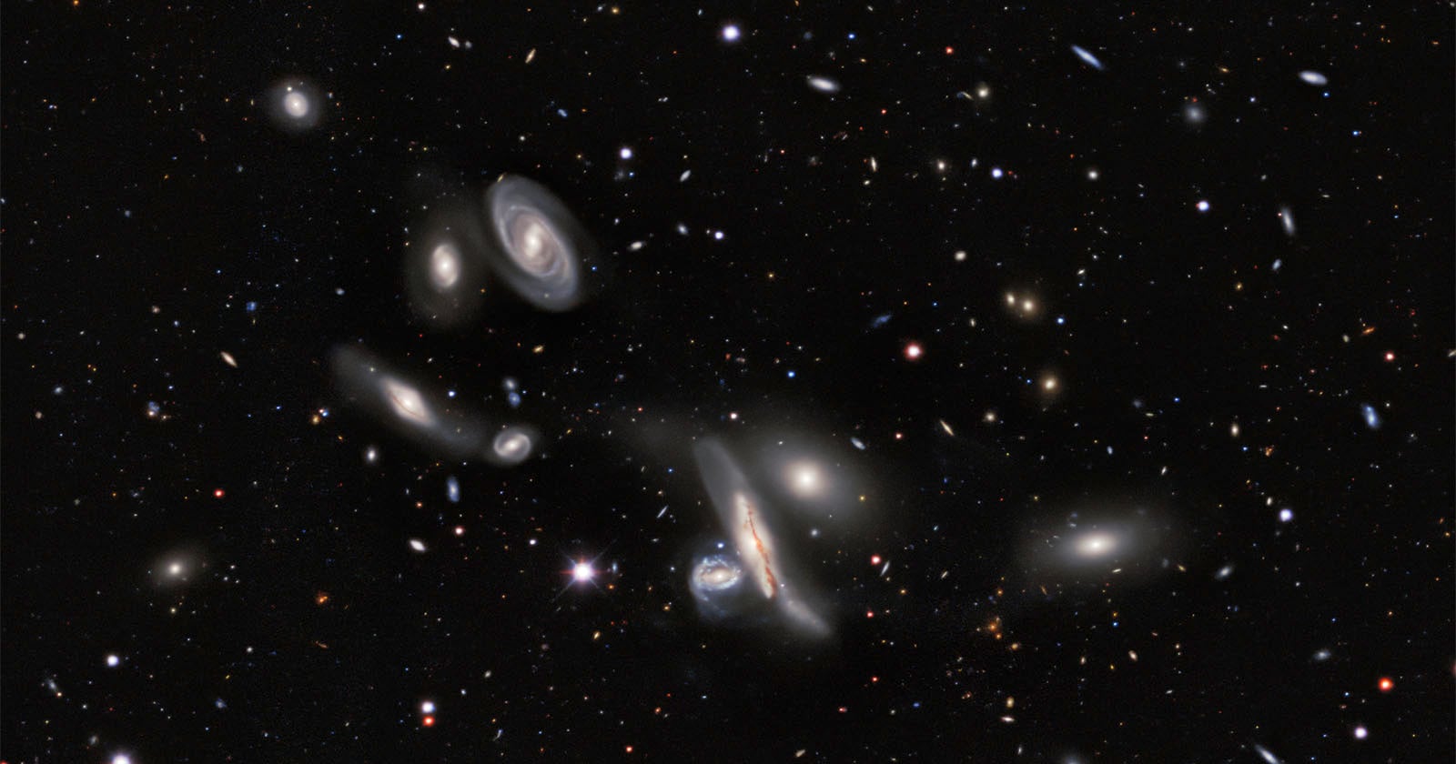
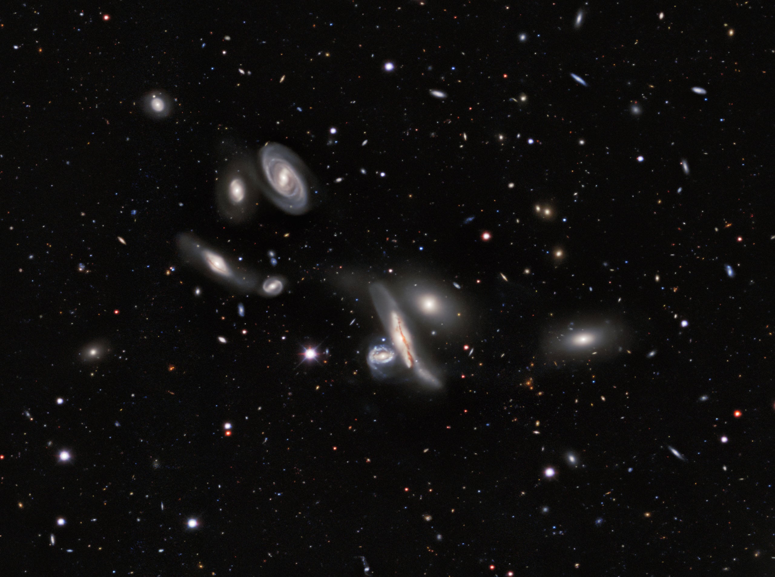
Scientists have used a pair of NSF NOIRLab telescopes for 13 years to create the new DESI Legacy Imaging Surveys map. It is the largest 2D map ever of the Universe and covers three-quarters of the sky. The catalog has nearly four billion objects.
Scientists used the U.S. National Science Foundation (NSF) Mayall telescope and the NSF Blanco telescope, which houses the U.S. Department of Energy-fabricated Dark Energy Camera, a 570-megapixel wide-field camera. The telescopes captured nearly four billion celestial objects, including stars, galaxies, black holes, and even asteroids. Together, their photos have been used to build a 5.6-trillion-pixel map. Over 160 scientists contributed data to the new collection, and it comprises 263,407 telescope photos.
This new map is available now to everyone and builds upon existing DESI Legacy Imaging Surveys. So far, over 1,800 scientific papers have been published that reference Legacy Survey data.
“It’s part of the fabric of astronomy research now,” says David Schlegel, co-lead of the Legacy Surveys and a scientist at the Department of Energy’s Lawrence Berkeley National Laboratory. “When you’re working with astronomical objects today, you often start by pulling up the Legacy Imaging Viewer to see what you’re looking at.”
With the latest data, scientists can look at about 75 percent of the sky in both visible and near-infrared light, the latter of which helps scientists see through the dust and stars of the Milky Way into the deep cosmos. Researchers believe this newly updated map will be the most comprehensive 2D map of the Universe for “years to come.”
“Explorations of our Universe always start with images of the night sky. The DESI Imaging Legacy Surveys are just one step in this venerable human tradition,” adds Arjun Dey, NSF NOIRLab astronomer and co-lead of the Legacy Surveys. “For our team, these data are fundamental to the investigation of the expansion history of the Universe and the formation of our galaxy. But the skies belong to everyone, and this survey gives everyone the chance to marvel at their wonders.”
The DESI Legacy Imaging Surveys were originally performed to prepare for the Dark Energy Spectroscopic Instrument (DESI) survey. The new 2D map is basically a “deep photograph of the sky,” as NOIRLab puts it. It shows where galaxies and stars are located and how bright they are. This is extremely important information for the DESI survey to select its targets and build a 3D map of the Universe. It will be the largest high-res 3D map of the cosmos ever, and will be used to investigate and track Dark Energy.
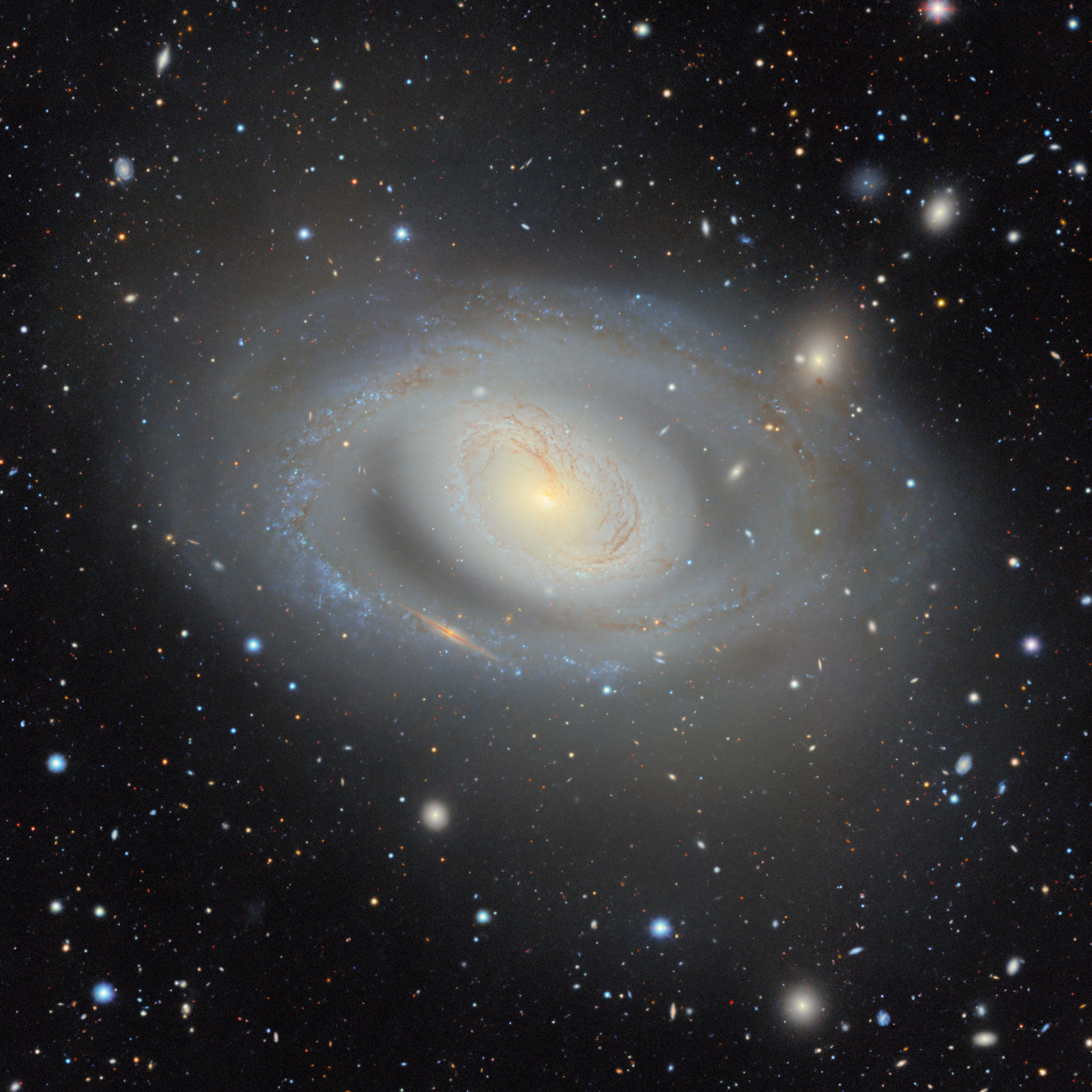
DESI completed its mission ahead of schedule in April, mapping more than 47 million galaxies and quasars. Scientists are poring over the results now.
Legacy Surveys will also prove to be a foundational reference for the next generation of telescopes, like the NSF-DOE Vera C. Rubin Observatory and its huge 3.2-gigapixel camera.
Image creditsDESI Legacy Imaging Surveys/LBNL/DOE & KPNO/CTIO/NOIRLab/NSF/AURA. Additional credits and image processing by M. Rodriguez (Gemini Observatory/NSF NOIRLab), J. Miller (Gemini Observatory/NSF NOIRLab), T.A. Rector (University of Alaska Anchorage/NSF NOIRLab) & M. Zamani (NSF NOIRLab).
Affiliate Disclosure PetaPixel articles may include affiliate links; we may earn a commission if you buy through one.