Published September 2, 2026 05:05AM
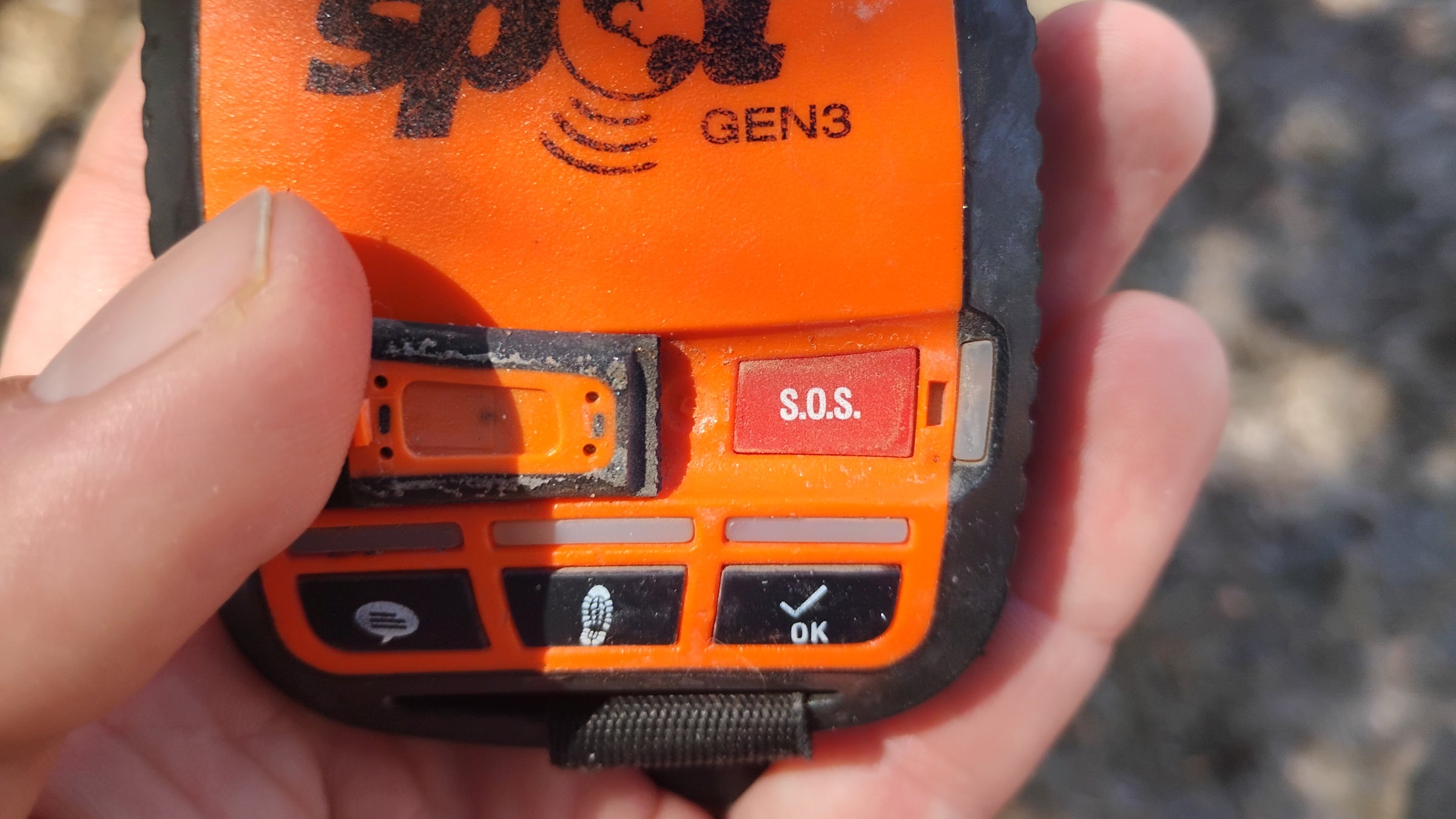
Pushing the SOS button feels like a big responsibility.
We shoot a signal through the atmosphere, from wherever we’re sprawled out on the ground in the middle of nowhere. That signal triggers a technological and human machine that will cause dispatchers, emergency departments, and rescue operators to assume their own risks as they work to spring us from the consequences of ours.
Ultimately, pressing it means handing over over one of the core responsibilities we sign up for in the backcountry: The responsibility for our own safety. There’s a weight that comes with the decision to summon boots on the ground to save us. So, what actually happens when we do?
In short: details vary by provider.
Texas-based Garmin takes a communication-forward approach that leverages the strong messaging capabilities of its devices. British PLB maker Ocean Signal, occupying a tighter niche, links directly to a SAR-specific satellite network.
Regardless of the process, one thing’s for sure: it gets set in motion a lot.
Buzzing Beacons
Garmin estimates it has received over 250,000 SOS alerts since 2007, from virtually every country on earth. More than 20,000 of them have required responses from Garmin, for an average of more than 1,000 per year.
Calls continue to increase. In 2025, the company reported 3,000-plus yearly incidents. Trail and mountain calls, it said, had “notably” increased. Unsurprisingly, Garmin keeps its emergency response center staffed 24/7.
The bigger picture follows a similar trend. Cospas-Sarsat, the SAR-dedicated satellite system used by Ocean Signal, services a network of 45 of the planet’s largest economies. In the 1990s, it was recording a few hundred “SAR events” per year. By 2024, that number climbed to well over 1,000.
Beacons themselves have become standard field gear. Cospas-Sarsat estimated over 3,354,000 devices capable of communicating with its 406 MHz network were deployed in the field in 2024. In 2017, that number was well under 2 million.
In 2024 alone, the parent company of Garmin competitor SPOT reported a gigantic 35% year-over-year increase in device sales.
How Does It Work?
In one sense, activating the SOS beacon on a backcountry satcom device is straightforward. The signal hits a satellite, a dispatcher or dispatch team receives it, and a rescue crew moves out.
But in any rescue, details matter. Depending on who you choose, variables throughout the industry hinge on communication style, intermediaries, and networks used.
Garmin
Network: Iridium
Signal Path: User > Iridium > Garmin Response Center > Local Rescue Network
Messaging: High – two-way text; automatic location updates; emergency contact communication; voice on compatible inReach Plus devices
Photo Messaging: Yes (depending on device)
The de facto standard of backcountry satcom services, Garmin’s SOS process stands out for its range of user options and continuity of communication during a rescue event.
When an SOS is triggered, the device sends the user’s GPS coordinates via the expansive Iridium satellite network to Garmin Response, its 24/7 emergency coordination center.
Garmin acknowledges the alert and opens two-way communication to assess the emergency. Simultaneously, Garmin coordinators work to find and contact a local rescue agency. The user’s location automatically updates every minute for the first 10 minutes of an SOS event, then once every ten minutes after that.
Coordinators reach out to the user’s emergency contacts if available, and relay information between rescuers and the user. If possible, Garmin will connect rescuers directly with the user through the device.
Garmin Response continues monitoring the user’s location and providing updates until the incident is resolved.
SPOT
Network: Globalstar
Communication Path: User > Globalstar > FocusPoint International > Local Rescue Network
Messaging: High on SPOT X – two-way text with rescue coordinators and personal contacts. Older/basic SPOT devices are one-way
Photo Messaging: No
Aside from a smaller satellite network and a third-party response center (still 24/7), SPOT’s SOS response system mirrors Garmin’s on its newer devices.
When an SOS is triggered, SPOT sends the user’s GPS coordinates to FocusPoint International’s 24/7 rescue monitoring center. FocusPoint confirms the location and contacts a local SAR agency.
Coordinators may also contact the user and their designated emergency contacts to gather additional information and monitor the incident through completion. These steps take place according to the user’s pre-set instructions.
The Gen4 and the company’s earlier devices are limited to one-way communication, while SPOT X provides two-way messaging with rescue coordinators.
SPOT X also sends locations every 2.5 minutes until the alert is acknowledged, then every 5 minutes. Documentation for Gen4 shows it updates at least every five minutes.
Ocean Signal
Network: Cospas-Sarsat (406MHz), plus 121.5MHz homing
Communication Path: User > Cospas-Sarsat > Mission Control/Coordination Center > Local Rescue Network
Messaging: Very low – distress/location transmission only. RLS acknowledges that the distress alert was received, but messaging is not available
Photo Messaging: No
Like other PLBs, Ocean Signal’s rescueME beacons bypass a commercial response center entirely. Instead, SOS signals travel directly through the Cospas-Sarsat international search-and-rescue system, no subscription required. (Cospas-Sarsat was founded in 1979 by France, Canada, the United States and, believe it or not, the Soviet Union. It has since grown to include over 30 member nations).
When a PLB3 is activated, it transmits its unique device identity and GNSS location at 406 MHz to Cospas-Sarsat satellites. The alert travels through a ground station to one of the network’s Mission Control Centers, which routes it to a Rescue Coordination Center.
The RCC uses the beacon’s registration information to verify the emergency – user-provided facts like how they typically use the beacon, an emergency contact that knows about this specific trip, and so on. After verifying, the RCC dispatches local SAR resources.
Communication is extremely limited: there’s no text or voice messaging. Return Link Service (RLS) can acknowledge the distress alert was received and routed, but does not confirm that rescuers have been dispatched.
Where Ocean Signal stands out is locating the user. In addition to the global 406 MHz alert, PLB3 continuously transmits a 121.5 MHz radio homing signal that rescuers can follow once nearby. At sea, it also broadcasts an AIS distress position to AIS-equipped vessels within VHF range, allowing nearby vessels to see and navigate directly to the beacon.[source: 1]