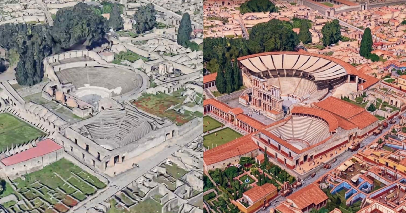
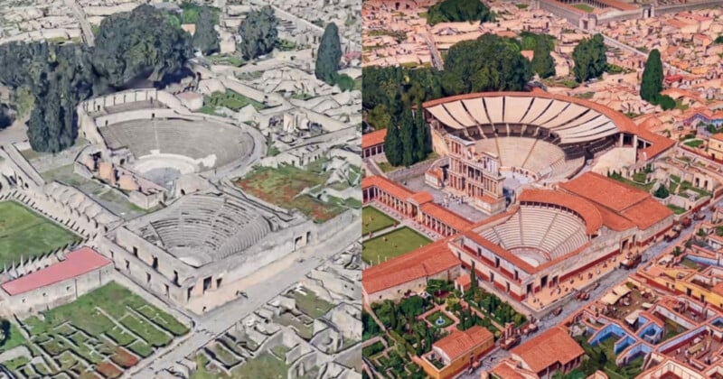
Google has added the Nano Banana AI image generator to Google Earth, allowing users to visualize the area they’re viewing in various styles or eras.
In a blog post, Google suggests a few different use cases for Nano Banana in Google Earth, including using it as a teaching aid that allows students to visualize the past instead of just reading about it.
Google cites Pompeii, a Roman city that was destroyed when Mount Vesuvius erupted in 79 A.D., as an example. When looking at the ruins of the city on Google Earth, users can write a prompt asking Nano Banana to “render a hyper-realistic view of what these Pompeii ruins looked like in 78 A.D.”
Today we’re bringing AI image generation with Nano Banana to Google Earth, letting you virtually reimagine anywhere in the real world. 🍌 https://t.co/zsgvAnbYrl
For the first time, you can generate custom images using Google Earth’s satellite, aerial, and 3D imagery. 🌎 pic.twitter.com/yed45vLZOo
— Google Earth (@googleearth) July 30, 2026
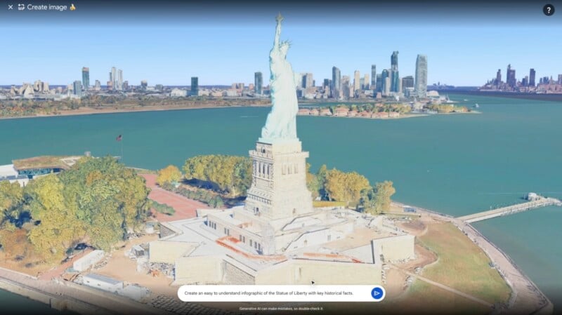
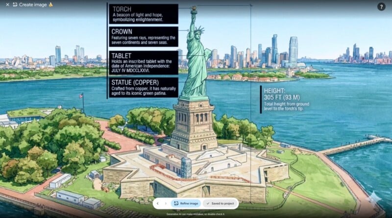
Other use cases Google suggests include using Nano Banana to create infographics about a specific location. A Google Earth shot of the Statue of Liberty, for example, is transformed into a cartoonish image with stats on its components. There is a note that reads: “Generative AI can make mistakes, so double-check it.”
Then there are more niche examples that Google gives, like for creating professional real estate plans.
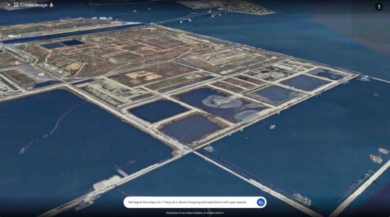
“Architects and urban planners can now bring their plans to life by saying, ‘Reimagine this empty lot in Tokyo as a vibrant shopping and retail district with open spaces.’ Barren concrete will be replaced by a high-quality 3D rendering of a bright urban oasis, helping your clients see what’s possible,” Google says.

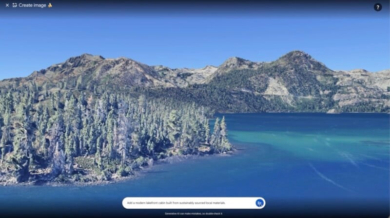
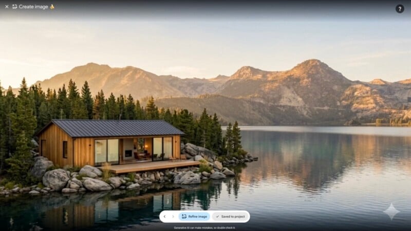
Similarly, some lucky people who are planning their lakeside dream home can visualize their project before breaking ground.
Of course, like all AI image tools, the user can just let their imagination run wild. One X user shared a shot of their home city in crochet mode.
Mi ciudad en modo crochet pic.twitter.com/LmZsCnlAYs
— Facundo Nuño (@nunio_) July 30, 2026
The Nano Banana feature in Google Earth is available now for all users.
Image creditsCourtesy of Google.